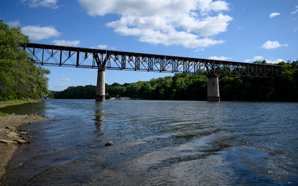
Someday, bicyclists and pedestrians will be able to traverse the 21 miles north and south from the Minnesota River in Bloomington to the cities of Crystal and New Hope — almost all without getting near vehicle traffic, if park planners have their way.
It's tricky to find a trail route through dense inner-ring suburbs, but Three Rivers Park District planners are almost finished mapping out that north-south connection, to be called the Canadian Pacific Rail Regional Trail after the nearby railroad.
Spurs of east-west trails connect Minneapolis to the western suburbs, but there has been no easy route to travel north or south on a bicycle. The trail will link several existing paths and connect to a future station on the Green Line light rail in St. Louis Park.
Planning the route around existing roads and buildings has meant a balance between minimizing impact and maximizing usefulness, said Three Rivers' Director of Planning Kelly Grissman.
"All of these communities we are working with are fully developed communities, and they were all developed around the car," she said.
Planners tried to save trees and parking spots, minimize the need for easements across private property and keep costs low, while making a trail that people would actually use to commute, go to school or run errands. There are tradeoffs, Grissman said.
Ideally, she said, the trail could be in the Canadian Pacific rail right-of-way, but those train tracks are still in use. The park district wanted to keep the trail nearby in case the railroad ever decides to abandon the track, she said.
The trail will be funded by the park district, which gets its money primarily from property taxes. Grissman said the district is starting to apply for federal grants that she hoped would offset most of the cost. Estimates are still being calculated, but costs are expected to range in the tens of millions of dollars. Federal grant funding would not be available until 2028 at the earliest, she said, so construction of most of the trail is still five to 10 years away.
This month, the city councils in Golden Valley and St. Louis Park heard recommendations of a route that will take the trail from Highway 55 and Douglas Drive in Golden Valley and connect to the Cedar Lake Regional Trail at the Wooddale Station light rail stop in St. Louis Park. Sections running from west Bloomington through southern Edina and from Crystal and New Hope to Golden Valley have already been approved. The only segment that remains to be mapped out will be through Edina to St. Louis Park.
The north-south connector will zigzag through the suburbs, Grissman said. It's not the straightest route, but it will connect to other paved trails so pedestrians and cyclists can travel without navigating city streets.
Feeling safe on the trails was a high priority for residents who gave feedback on trail proposals this summer, said Jack Sullivan, an engineering project manager for St. Louis Park. Most of the trail will be separate from the road, but it will cross some city streets, he said.
State Department of Public Safety data show crossing the street was the most likely scenario for a bicycle crash with a car, including four of the six deadly bike crashes in 2022.
Grissman said there is no perfect route through the cities that did not involve some road crossings or other compromises.
"It's not a perfect scenario," she said.
But, she and Sullivan said, it is exciting to see the trail come into focus.

Want to share info with the Star Tribune? How to do it securely

'Safe recovery sites' would offer syringes, naloxone and more to people using drugs. The plan could be in peril.
New Minnesota GOP leaders seek peace with party's anti-establishment wing

Who is Republican Lisa Demuth, Minnesota's first House speaker of color?

