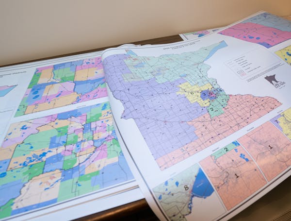
Six maps that further explore Minnesota's redistricting
See how Minnesota's shifting populations influenced the reshaping of the state's political boundaries.
Want to further explore Minnesota's redistricting changes? Check out our interactive maps.