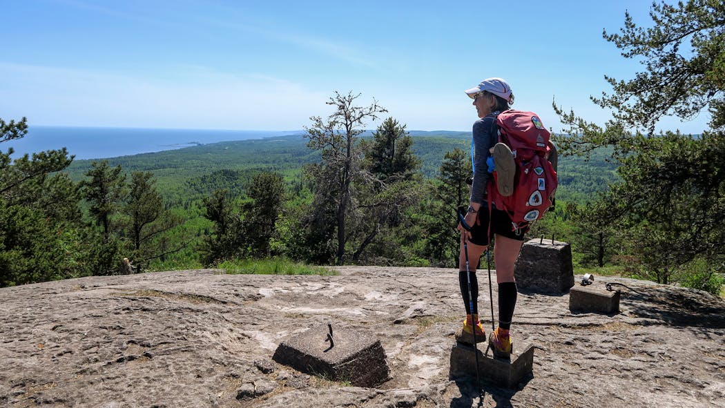
A region carved by upheaval
The Superior Hiking Trail didn't just happen, and neither did the landforms of rocky outcroppings and river valleys that have come to identify the path. The story goes way back — like a billion years ago.
"I think it is really important for people when they are enjoying a landscape like this to understand something about how it got there," said John Green, who's been teaching geology at the University of Minnesota Duluth since 1958, and helped scout and create a section of the trail from Duluth to Two Harbors.
Two epic geographical events crafted the North Shore, said Green, beginning all those years ago with one called the Laurentia continental drift. The continent ripped apart, and huge amounts of molten rock rose to the surface from underneath the earth's crust. Lava flows gathered, solidifying and shaping the rocky topography upon which the trail sits.
Meanwhile, all the action caused the middle of the rift to sink, creating a basin and setting the groundwork for current-day Lake Superior. During the Great Ice Age, 2.5 million years ago, glaciers formed in Canada and oozed down over Minnesota. The hard volcanic rock formations stood their ground, while the glaciers scooped out the softer sedimentary rocks that washed over the top of the gouge at the rift's middle. The result: the Lake Superior basin.
Erosion over long periods since the rift have sculpted the rock formations — softer rock wearing away at a faster rate than harder, igneous rock, and producing "the ridge-and-valley effect" that is synonymous with the Sawtooth Mountains, Green said.
There isn't much geologically in the Midwest that compares to the North Shore, he added.
"There's nothing like it on any of the other Great Lakes, especially the combination of the lake and the topography and the biomes."
Bob Timmons

